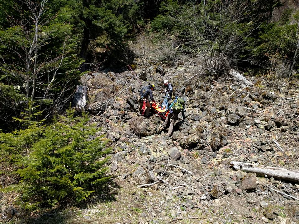
Planning a hike or climb on the Olympic Peninsula? Following the recommendations below can help keep you out of trouble and increase your margin of safety when things go wrong.
Do your research.
Use the online Hiking Guide from Washington Trails Association or one of the available guidebooks to Olympic Peninsula trails and climbs to research where you are going. Some of the guidebooks we use are listed on the Training Resources page. Choose something within the capabilities of your group, and have a conservative expectation of how long it will take you.
Check weather forecasts, avalanche forecasts and alerts.
Start with a general weather forecast from your choice of reputable sources, such as the National Weather Service. Depending on your destination and the season, there may be several more essential sources of information to seek out.
Point forecasts from the National Weather Service and commercial providers and from MountainForecast.com are based on models and algorithms. In nearly all cases, a forecaster does not write a specific forecast for your intended route or destination. Therefore, forecasts should be just part of your preparation for backcountry activities, and you should always prepare for worst.
Also check for alerts from the land-management agencies in the area, such as the Olympic National Park Alerts and Conditions and the similar page for Olympic National Forest.
Leave a trip plan.
Leave a written trip plan with a responsible adult before venturing into the backcountry. Be sure to include the following:
Last-minute change of plans? Take the time to park your vehicle in a safe place before leaving cell service and text or email the changes to the person who has your trip plan.
- Name of trail and destination
- Plan and purpose (hiking, fishing, etc.)
- Any possible alternate trailheads, destinations or plans
- Make, model, year, color and license plate of vehicles left at trailhead
- Any pre-existing medical conditions
- Date and time of departure and anticipated return
- Date and time you want to be reported overdue if you have not returned
- Any communication devices you will be carrying
- Color and description of your pack and outerwear
Last-minute change of plans? Take the time to park your vehicle in a safe place before leaving cell service and text or email the changes to the person who has your trip plan.
Carry the ten essentials.
- Navigation: map, compass, GPS
- Sun protection: sunglasses, sunscreen
- Insulation: extra clothing, rain gear
- Illumination: headlamp, flashlight, spare batteries
- First-aid: a well-stocked kit and training
- Fire: waterproof matches, a lighter, candles, fire starters
- Tools: knife, multipurpose tool, repair kits
- Nutrition: extra food
- Hydration: extra water, method of purification
- Emergency shelter
Carry emergency communication.
Consider bringing communication devices into the backcountry. Cell service is extremely limited in most of the Jefferson County backcountry. Personal Locator Beacons (PLBs), satellite communicators (inReach and SPOT) and satellite SOS are massively useful in the event of an emergency.
That said, in an emergency always try your cell phone, because it may work for a 911 call.
That said, in an emergency always try your cell phone, because it may work for a 911 call.
Don't split up.
While some people prefer solo trips, please consider hiking with and staying with a partner. Please be aware that travelling solo, especially off-trail, greatly reduces the odds of a positive outcome should you become lost or injured.
If you have to leave a sick or injured partner to seek help, 1) Ensure they are well insulated and have plenty of food/water. 2) Ensure they have bright clothing or a light/mirror to signal an aircraft. 3) Obtain your GPS coordinates before leaving. If you do not have a GPS or a smartphone mapping application, install a simple GPS-information app on your smartphone so you can quickly take a screenshot of your coordinates.
If you have to leave a sick or injured partner to seek help, 1) Ensure they are well insulated and have plenty of food/water. 2) Ensure they have bright clothing or a light/mirror to signal an aircraft. 3) Obtain your GPS coordinates before leaving. If you do not have a GPS or a smartphone mapping application, install a simple GPS-information app on your smartphone so you can quickly take a screenshot of your coordinates.
Leave No Trace.
Please don’t forget to pack out what you packed in and practice the LNT principles!
Want JSAR to speak to your group?
JSAR can help educate local groups on these and other issues of backcountry safety by sending one or more experienced members to speak at your event. Contact us if interested.
